Ask NASA Climate | May 9, 2018, 17:38 PDT
Cloudy with a chance of chemistry
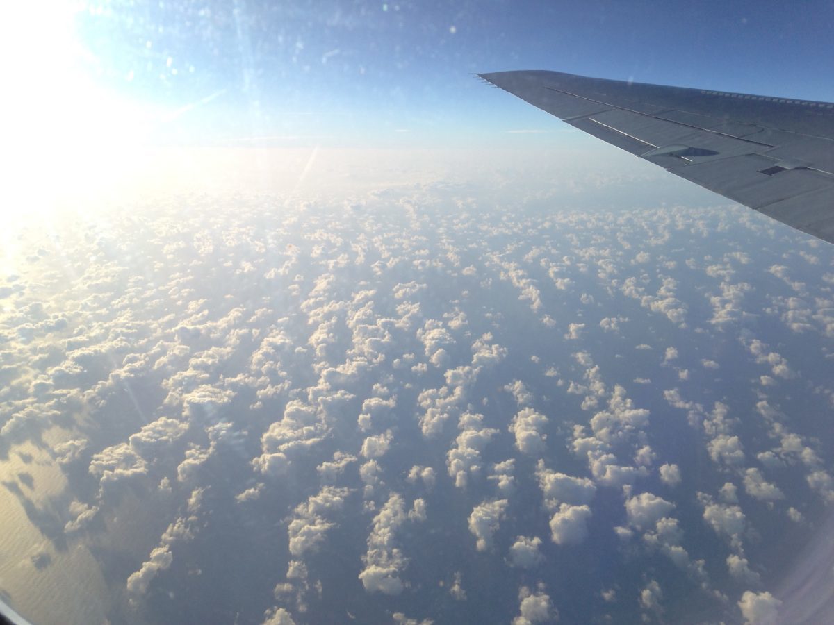
The Atmospheric Tomography, or ATom, mission is investigating the atmosphere above the remote oceans. Above the Atlantic ocean near Ascension Island, the research team saw haze from African fires during ATom’s February, 2017, flight. Credit: NASA
The most important question at the daily briefing for NASA’s Atmospheric Tomography, or ATom, mission is: What are we flying through next?
For the 30 scientists plus aircraft crew loaded up on NASA’s DC-8 flying research laboratory on a 10-flight journey around the world to survey the gases and particles in the atmosphere, knowing what’s ahead isn’t just about avoiding turbulence. It’s also about collecting the best data they can as they travel from the Arctic to the tropics then to the Antarctic and back again.
“ATom is all about the up and downs,” said Paul Newman, lead of the ATom science team and chief scientist for Earth Sciences at NASA’s Goddard Space Flight Center in Greenbelt, Maryland. The ups and downs he’s referring to are slow descents from 40,000 feet to 500 feet above the ocean so the researchers aboard can sample the atmosphere at all altitudes in between. That’s not a maneuver the pilots will do if they can’t see what’s below or ahead of them, but the measurements are why the team is out there.
Which is why to find out what they might encounter and safely plan their flight path, it takes a team back home in their offices supporting them with freshly downloaded satellite data, updating forecasting models, an internet connection and phone. The pre-flight briefing takes place at 9 a.m. where the plane is, so for the forecasters calling in from Colorado, Virginia, and Maryland, it often means working late or early to brief the mission scientists and pilots at their hotel. And then when the flight takes off, one of them is in the plane’s private satellite chat room giving them live updates while the plane is in the air.
Weather is of course the big concern. The pilots of the DC-8, which in another life was a mid-sized passenger plane, need to know where the fair and foul weather is.
“Just cutting across the equator, what do you do?” Newman said. “You just fly through those thunderstorms? Or is it better to go west or east around a particular convective cell? You don’t want to get trapped. We don’t want to spend a lot of time flying through a thick cloud. It screws up your measurements, clogs up your air intakes. So with real-time meteorological support, it creates a level of comfort for the team and pilots to know that there won’t be any surprises.”

Weather isn’t the only forecast the team gets before and during the flight. They also get a forecast of the atmospheric chemistry. From supercomputers at Goddard, a computer simulation of Earth projects the paths of carbon monoxide plumes. Carbon monoxide is one of over 400 gases being measured aboard the DC-8, but since it’s the result of incomplete combustion, whether from cars, power plants, wild fires or agricultural fires, it’s one of the simplest for the computer to track. Like a weather forecast, the chemical forecast takes current satellite data of carbon monoxide and then uses winds and temperature to project where it will go into the future – and where the DC-8 aircraft might encounter it on flight day.
“It’s fun to see during the flight whether or not some of these forecasts are realized,” said Julie Nicely of the chemical forecast team. “The person who measures carbon monoxide, for instance, might get on the chat and say, ‘Oh, we just saw CO [carbon monoxide] rise right where you said it would!'” Where turns out to be the easier question to answer. How much of it there is and what other gases occur with and react with it to turn into other gases are much more difficult questions and are among the reasons ATom’s science team is flying through these plumes of pollution.
Carbon monoxide isn’t the only gas whose intermingling with other atmospheric chemistry is being studied. When Nicely’s not supporting ATom she’s researching the hydroxyl radical, a chemical that lasts for a fraction of a second before reacting with other gases in the constantly churning chemistry of the atmosphere. It’s impossible to simulate in the model at the moment, and ATom’s flights are the first time its concentration, along with hundreds of other gases, is being measured on a global scale.
What the science team learns from these flights will go toward not only understanding the chemistry along the strip of the ocean their plane flew over but also improving the atmospheric chemistry models that are a tool for looking at what’s happening across the entire globe.
This piece was originally published on the NASA Earth Expeditions blog.