About Earth Now

SUOMI NPP imagery from Sept. 6, 2017. Hurricane Irma is visible in the center of the image and Hurricane Jose is visible just above it.
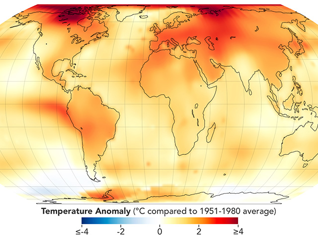
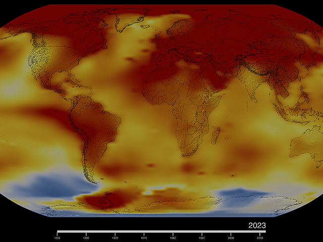
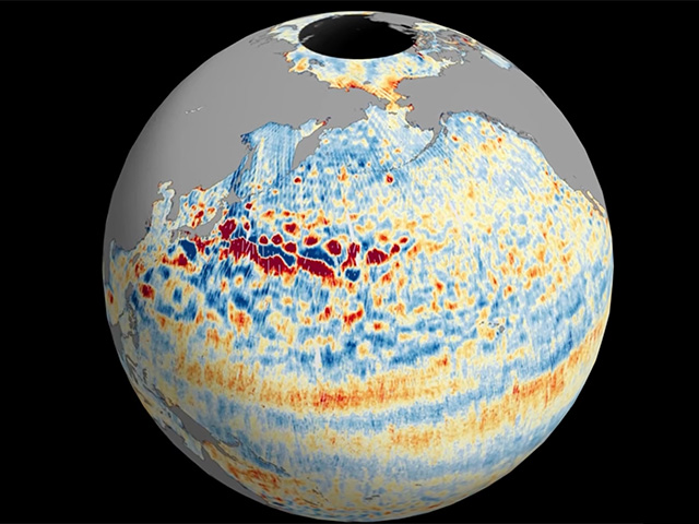
Monitor our planet's vital signs, such as sea level height, atmospheric carbon dioxide concentration and Antarctic ozone. Trace the movement of water around the globe using the gravity map from NASA's GRACE satellites. Spot volcanic eruptions and forest fires using the carbon monoxide vital sign. Check out the hottest and coldest locations on Earth with the global surface temperature map.
With the “Latest Events” feature, you can explore geo-located satellite images of recent Earth events, including algal blooms, super storms and wildfires.
Recommended Platforms
| Mac OSX 10.12.6+ | Safari 11+, Chrome 66+, Firefox 59.0.2+ |
| iPhone iOS 11.2.5+ | 6S+, Safari 11+, Chrome 66+, Firefox 59.0.2+ |
| iPad | iPad Air 2, iPad Pro |
| Windows 7+ | Chrome 66+, Firefox 59.0.2+, Edge 41+ |
| Android | Marshmallow 6.0.1+, Chrome 66+, Firefox 60.0.2+ |
| CPU | PC Intel i7+, Mobile quad-core+ |
| Memory | PC 8GB+, Mobile 2GB+ |
| Graphics | PC mid-range+, Mobile Adreno 530+ |


