Earth Pop Quiz

How much do you know about Earth and Earth-observing systems?

Take the quiz to find out.

More Info / References

1

1.

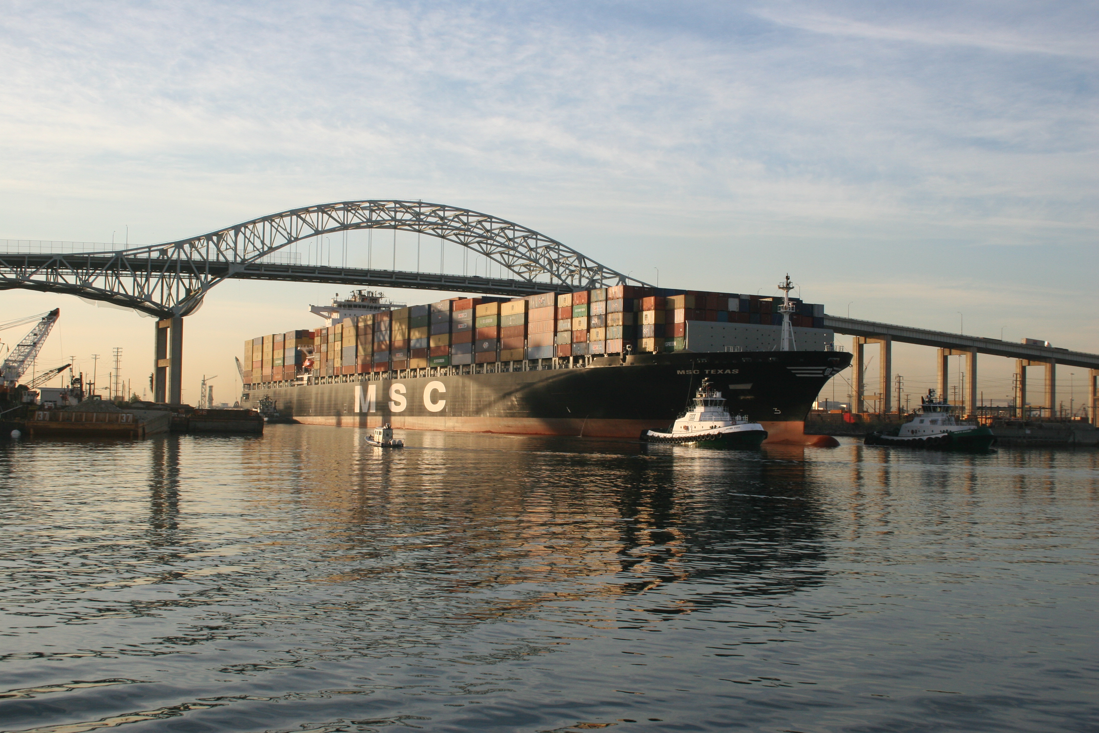
The Port of South Louisiana, which spans more than 50 miles along the Mississippi River, is the largest port in the Western Hemisphere. Information from which program is used to guide ships safely to and from the port?

PORTS, sponsored by NOAA National Ocean Service, is a decision-support tool that improves the safety and efficiency of maritime commerce and coastal resource management through the integration of real-time environmental observations, forecasts, and other geospatial information.
2

2.

In this GOES-13 Solar X-ray Imager (SXI) image of the Sun, what are the dark areas called?

Coronal holes are areas where the Sun's corona is colder and darker because there is lower-density plasma
3

3.

This Terra image from 2003 shows a fingerprint-like feature over a deck of marine stratocumulus clouds. What Earth-science phenomena is shown?

Gravity waves form in an unstable atmosphere; such as along fronts, during storms, or when winds travel over mountain ranges
4

4.

What does this instrument measure?

This is an image of a High frequency (HF) radar system which measures the speed and direction of ocean surface currents in near real-time. Currents in the ocean are equivalent to winds in the atmosphere because they move things from one location to another. The currents carry any floating object, which is why U.S. Coast Guard search and rescue operators use HF radar data to make critical decisions when rescuing disabled vessels and people stranded in the water
5

5.

Of what use is time sequence data (imagery of the same place captured over time) to land management agencies?

Time sequence data can’t help track large mammals, but is very helpful for observing the landscape and informing land managers
6

6.

What does this Landsat 8 image from 2014 show?

Egmont National Park is located on the west coast of the North Island of New Zealand and is dominated by the dormant volcano of Mount Taranaki.
7

7.

Question: Emory rods, string, and a hand level are tools communities can use to monitor ___________.

Shoreline change can also be monitored from space. The USGS/NASA Landsat satellites can provide a timeline series showing changes in coasts and shorelines. LIDAR is also used to measure shoreline change. FEMA makes extensive use of shoreline monitoring after hurricanes for directing response efforts.
8

8.

In a Landsat False Color image, what color is dense vegetation?

Plants reflect near infrared and green light, while absorbing red light. Since they reflect more near infrared than green, plant-covered land appears deep red in false-color imagery. Denser plant growth is darker red.
9

9.

What is the main objective of USGEO?

The U.S. Group on Earth Observations (USGEO) is a subcommittee of the White House Office of Science and Technology Policy’s Committee on Environment. USGEO leads U.S. federal efforts to enable a healthy public, environment, and planet through integrated, comprehensive, and sustained Earth observations. USGEO also supports the international organization, the Group on Earth Observations (GEO).
10

10.

Can satellite sensors be used to see through clouds?

Sometimes. Radar instruments can see surface features below the clouds. Synthetic Aperture Radar (SAR) imaging is not affected by weather, including clouds and fog, unlike optical satellite instruments. In the aftermath of a flood or an earthquake, the ability of SAR to penetrate clouds is helpful in providing data to first responders. Other radars can monitor clouds themselves, like the one used on Cloudsat.