1 min read
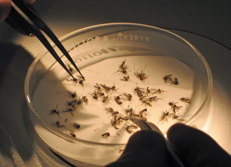
Mosquitos are unwelcome guests at outdoor summer events across America — and thanks to rising global temperatures, they’re becoming more prevalent and sticking around longer. A warmer planet has also brought invasive mosquito species to American soil, accompanied by mosquito-borne diseases like Zika and West Nile Virus. From 2004 to 2016, there has been a tenfold increase in cases, according to the Centers for Disease Control and Prevention. Earth-observing satellites, in combination with ground-level surveillance data, are helping to map the locations of disease-carrying insects to keep communities safe.
Through a website called VectorSurv, mosquito control agencies and public health officials nationwide can access daily updated maps to monitor which communities are most at risk from invasive, potential disease-carrying mosquitoes. Partially funded by NASA grants in 2015, VectorSurv’s early warning system allows officials to monitor and respond to potential outbreaks with agility, nipping outbreaks in the bud and reducing human suffering.
More about how VectorSurv is being used across the U.S. in the story, NASA Helps Fight the Mosquito Bite Coast-to-Coast.

