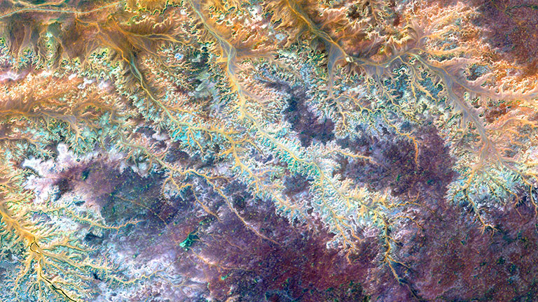
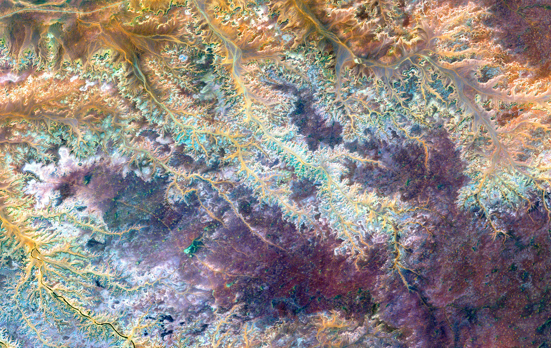
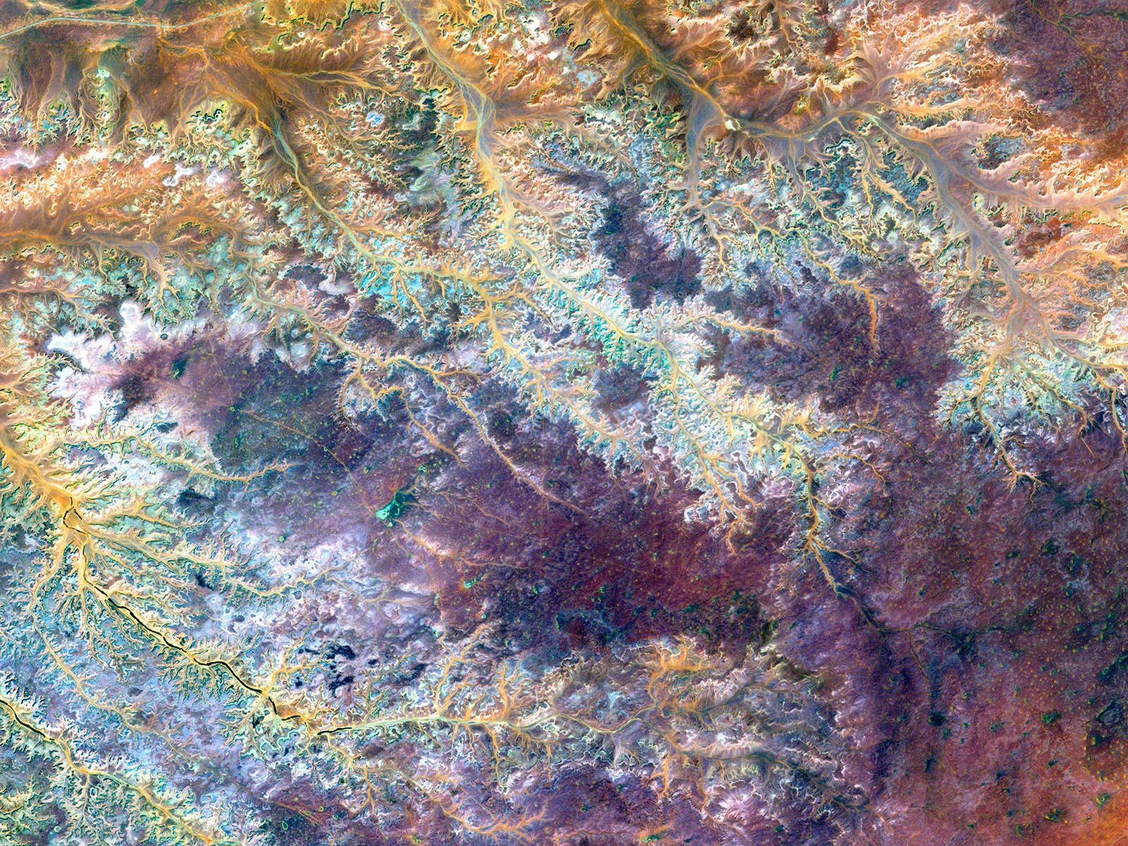
Ghadamis River in Libya

December 2, 2014
| Credit | Image provided by the U.S. Geological Survey (USGS) EROS Data Center Satellite Systems Branch. Caption adapted from text provided by NASA's Earth Observatory. Source: NASA/USGS Landsat 7; NASA Earth Observatory. |
|---|---|
| Language |
|
This scar on an arid landscape is the dry riverbed of the Ghadamis River in the Tinrhert Hamada Mountains near Ghadamis, Libya.
This image was acquired by the Landsat 7 satellite on November 6, 2000. This is a false-color composite image made using near-infrared, green and blue wavelengths. The image has also been sharpened using the sensor’s panchromatic band.


