


Climate Change Stories
Filters
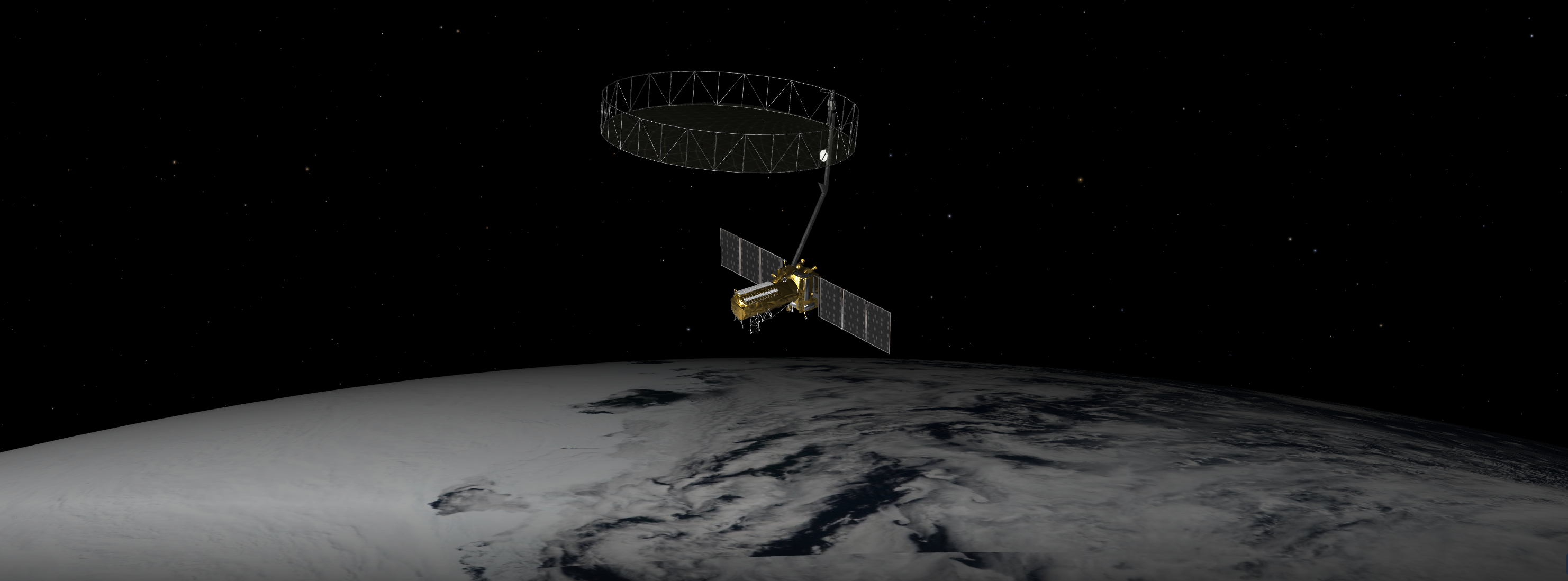
A Q&A with the lead U.S. scientist of the mission, which will track changes in everything from wetlands to ice sheets to infrastructure damaged by natural disasters. The upcoming U.S.-India NISAR (NASA-ISRO Synthetic Aperture Radar) mission will observe Earth like…
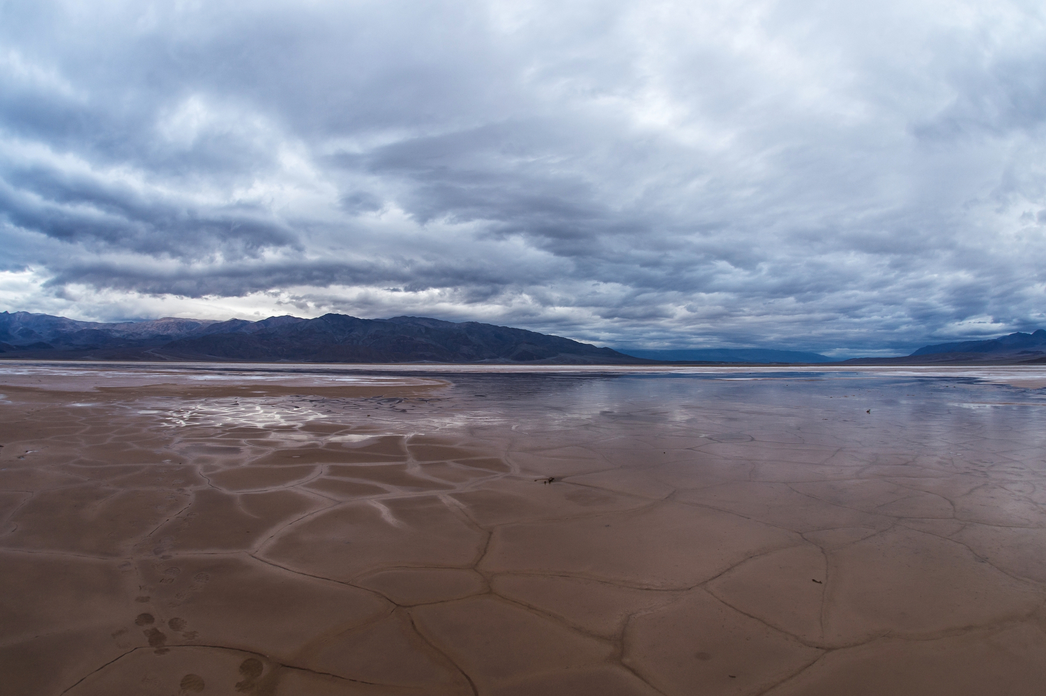
Earth’s rainy days are changing: They’re becoming less frequent, but more intense. Vegetation is responding.
As any urban dweller who has lived through a heat wave knows, a shady tree can make all the difference. But what happens when there’s no shade available? A recent study in Nature Communications used NASA satellite data to identify…
The information will help people who live in coastal areas prepare for impacts caused by rising sea levels. Earth’s ocean is rising, disrupting livelihoods and infrastructure in coastal communities around the world. Agencies and organizations are working to prepare people…
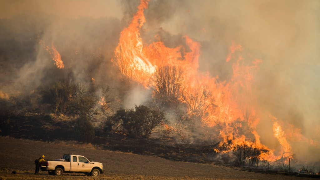
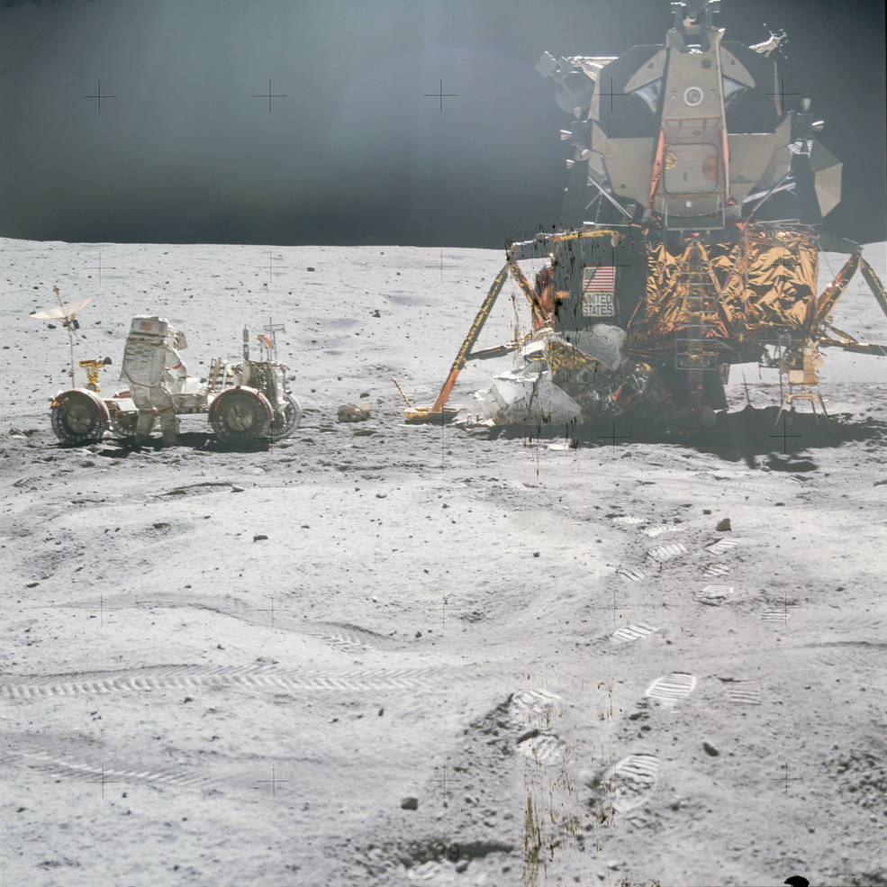
Discover how Landsat data supports wildfire management, from spotting early fire risks to watching nature’s recovery.
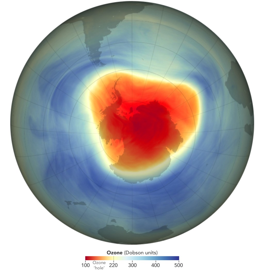
In 2024 the ozone hole over Antarctica reached its annual maximum extent, with an area of 8.5 million square miles.
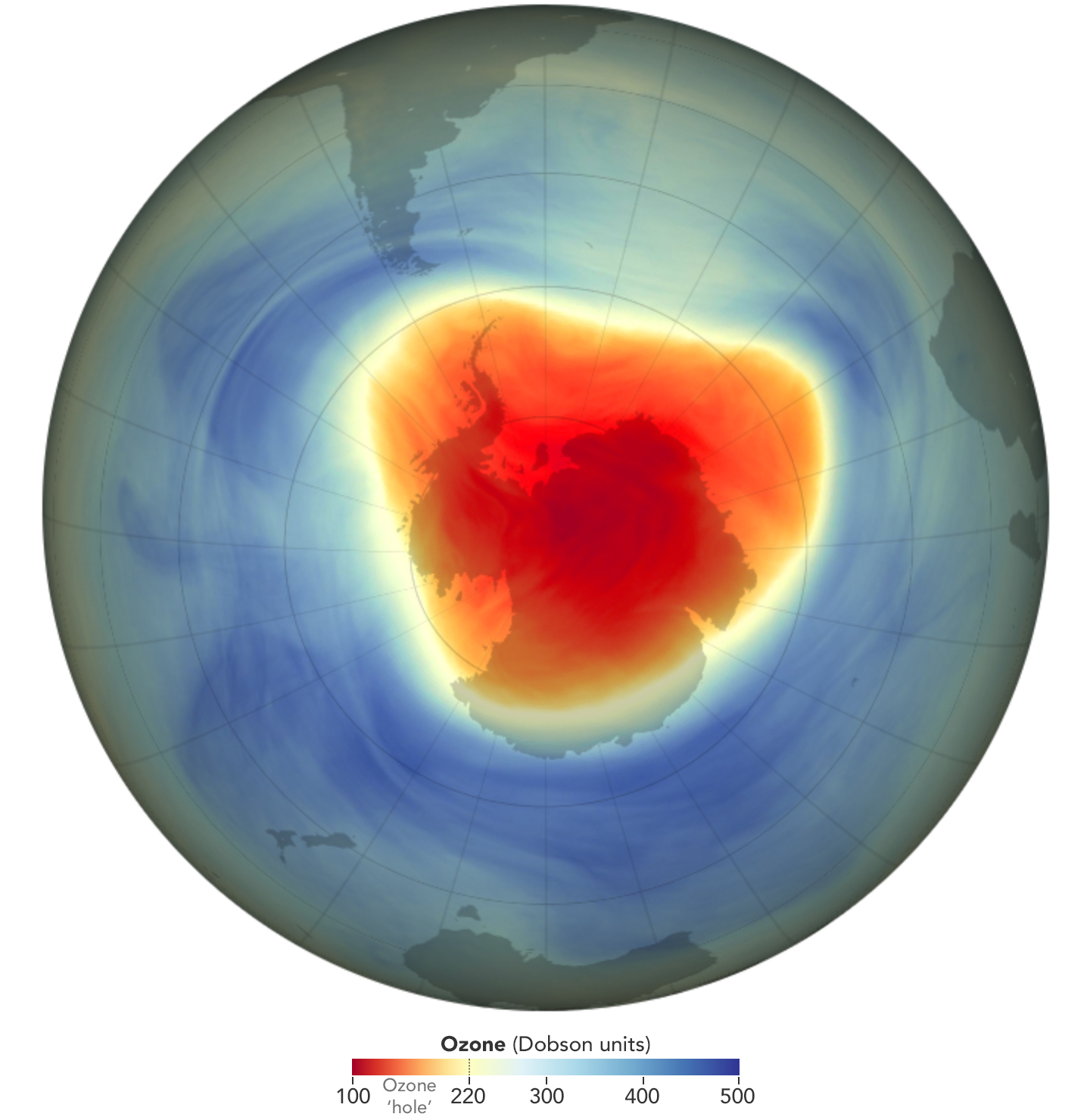
Healing continues in the atmosphere over the Antarctic: a hole that opens annually in the ozone layer over Earth’s southern pole was relatively small in 2024 compared to other years. Scientists with NASA and the National Oceanic and Atmospheric Administration…

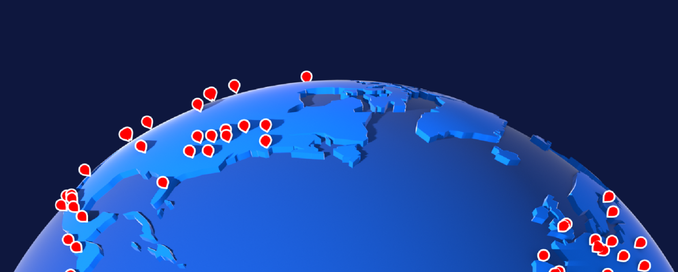
Earth’s far northern reaches have locked carbon underground for millennia. New research paints a picture of a landscape in change. A new study, co-authored by NASA scientists, details where and how greenhouse gases are escaping from the Earth’s vast northern…

The imaging spectrometer aboard the Carbon Mapper Coalition’s Tanager-1 satellite identified methane and carbon dioxide plumes in the United States and internationally. Using data from an instrument designed by NASA’s Jet Propulsion Laboratory in Southern California, the nonprofit Carbon Mapper…

Climate change is rapidly reshaping a region of the world that’s home to millions of people. In the next 30 years, Pacific Island nations such as Tuvalu, Kiribati, and Fiji will experience at least 6 inches (15 centimeters) of sea…


