The Himalayas

May 7, 2014
| Credit | Image provided by the USGS EROS Data Center Satellite Systems Branch, as part of the Earth as Art II image series. Caption adapted from text provided by NASA’s Earth Observatory. Source: ASTER; NASA Earth Observatory. |
|---|---|
| Language |
|
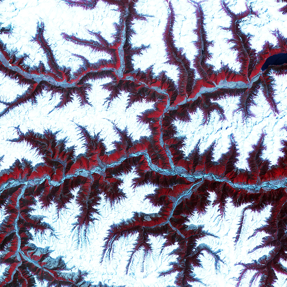
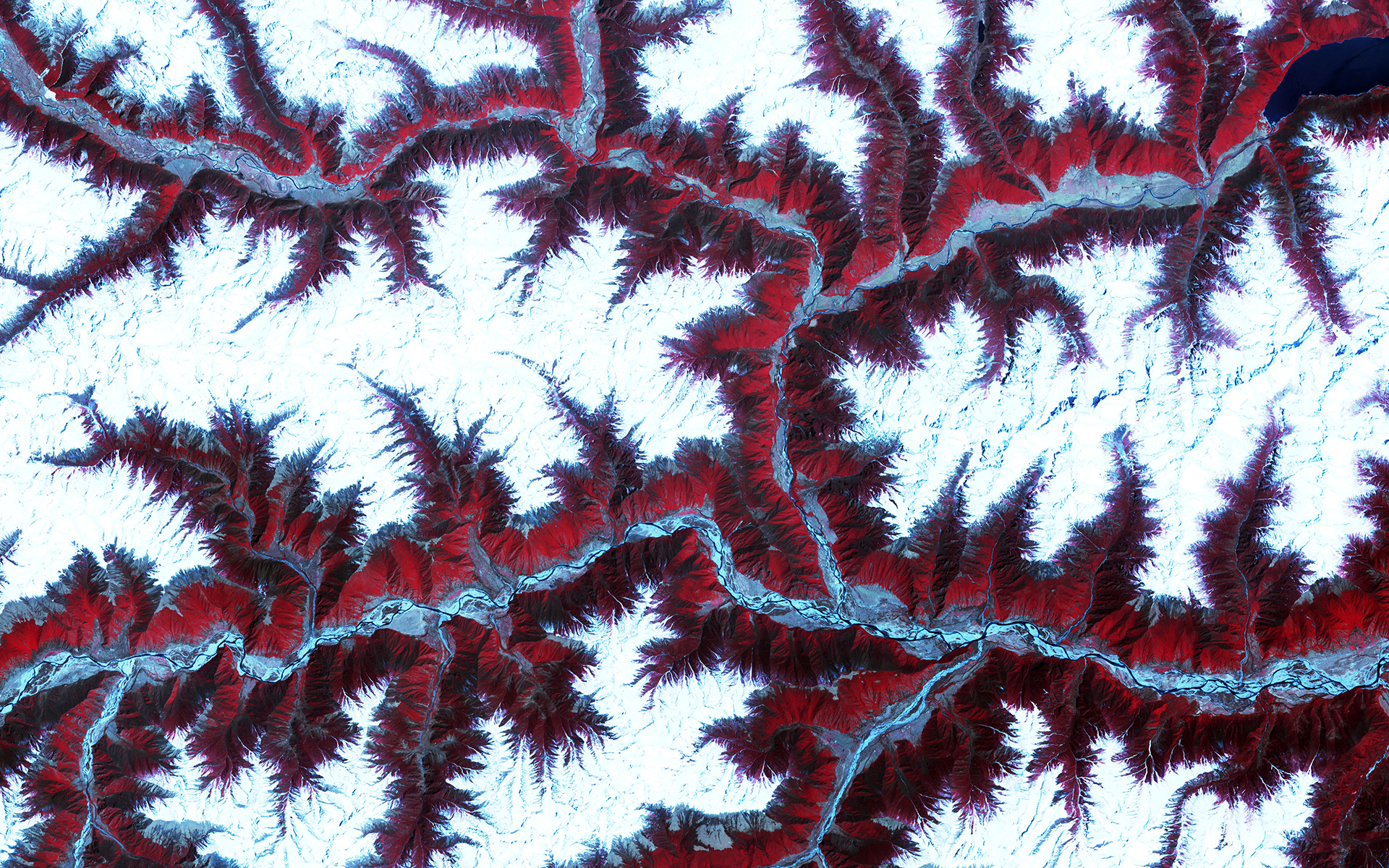
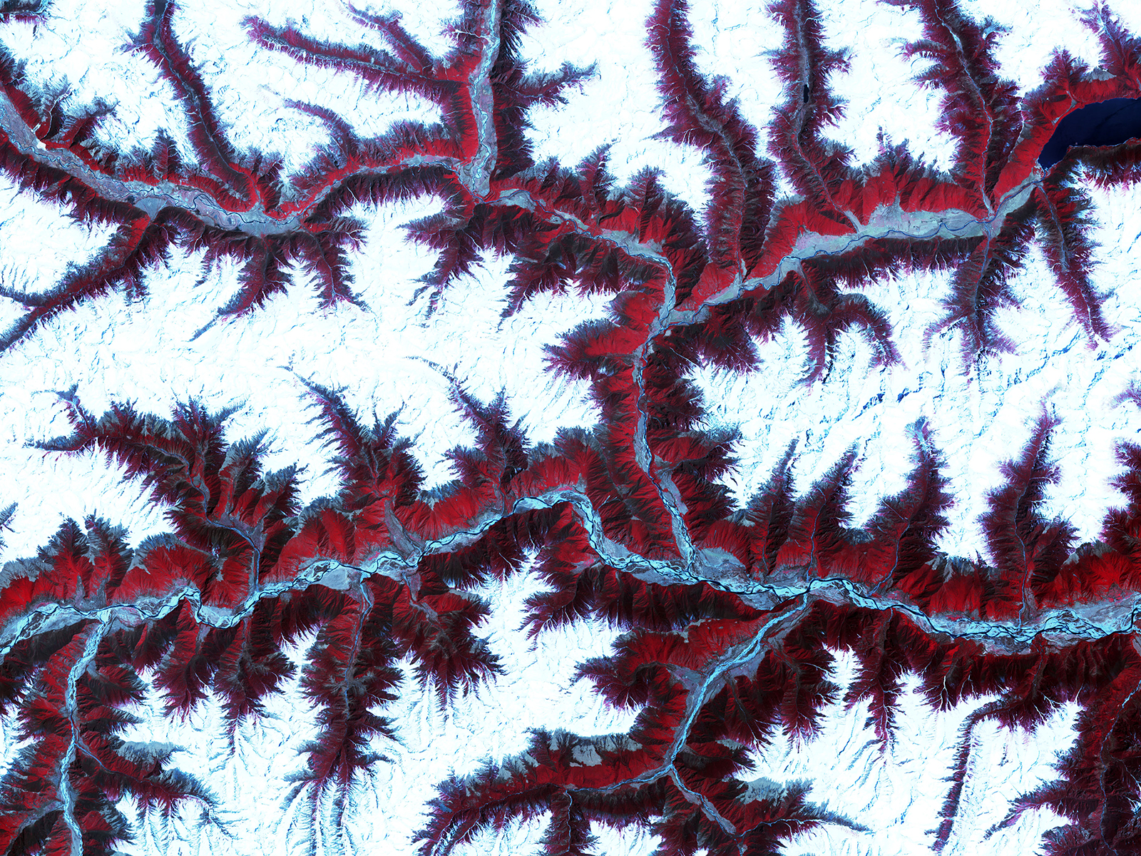
This false-color image shows snow-capped peaks and ridges of the eastern Himalayas between major rivers in southwest China. The Himalayas are made up of three parallel mountain ranges that together stretch for more than 1800 miles (2,900 kilometers). This particular image was taken by NASA’s Advanced Spaceborne Thermal Emission and Reflection Radiometer (ASTER), flying aboard the Terra satellite, on February 27, 2002. The picture is a composite made by combining near-infrared, red and green wavelengths.


